This time right around when I was graduating really felt like a time when I had a lot of chance, desire, and availability to really go outside and check things out. While life had been a bit crazy for the last few months, these were really a chance to just get outside. So, I emailed out to the standard people, and Rashied and Chris were able to come on out with me for a hike. We had to go a bit past some of what was the “general” area I would have gone to, since a lot of the forest was still closed from the Station Fire, but the Angeles Crest Highway was still open, so we were able to head on up to Mt. Hawkins, which is a bit southwest of Islip Saddle. The trip was approximately 9 miles round trip, with 2300′ of gain, but my GPS said there were 3160′ of actual climbing involved.

White dead trees stand quite starkly
Sent out email for another day , and Chris and Rashied said they wanted to come. Had to find somewhere beyond the regular range, since this was post-fire, but the road was still open at this point, so we were able to get out to Mt Hawkins, which is just a bit southeast of Islip Saddle. I used both my canon sd850 and rashied’s pentax k-7 to take photos. The summit is around 8860′, and the distance to get there was vague – guidebook says 8, GPS ended up saying 9, signs said 8, and the map said 9+…so ended up calling it 9 or so.

Chris, checking the map, as we head uphill
This hike is on the north-side of the hill,so it’s all through pine forest. There were still occasional snow patches, but for the large part, the trail was clear, and the forest was wide open. In certain areas, we saw remnants of previous fire. The trail up near the ridgeline that will lead you to the peak does cross/meet with the PCT, so I can continue with my inchwise “goal” of “section” hiking it, hehe.

Windy Gap is just ahead. The trees stand sentinel, the sign marks.
There was nothing particular spectacular about this hike, the only specifically interesting part was seeing some of the burn recovery area, and how the trees were in all these crazed, tortured, poses, but the ground cover was coming back underneath. There were some nice views, and from the summit we could see that a small bit of snow remained on Baldy. We collapsed for a little bit on the summit when we got up there. I recall it getting pretty warm by the end of the day, though we still had reasonable views, to baldy, like I said, but could just see the sierras nudging up over the top of the early summer mojave haze.

Chris and Rashied, at Windy Gap

View down towards Crystal Lake area from Windy Gap

This way up to the summit sidetrail…

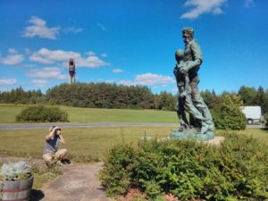
Some of the downed trees had the most excellent shapes. Rashied shooting next to one of them.

Dead trees perched over the landscape

We were all kind of tired after hitting the summit – I blame the heat. It’s easy to blame the heat.

Trail back almost to the road.