#42 surveying what is out there
This was a nice little hike. It’s in the higher country of the Angeles, so even though it’s not all that long, it’s all pretty pleasant. I went with Tucker and Jeff (first time hiking with Tucker), for this overall 5 mile RT hike, with 1600′ of gain.
For this hike, you go up and up and up Route 2. Today, of course, post station fire, it is all closed, and for a very brief and glorious time this summer it was open all the way through, but for several years, and at the time of this hike, if you were driving up from the west, the road was closed at Islip Saddle…which is where we went to to start this hike. It’s a nice drive, with fewer people as you go further, and then more windy, more trees, nicer views. And then you get to a gate, and a small parking lot, where we began.
At Islip Saddle, you just start north on the clearly marked trail. Although we definitely weren’t planning on heading as far as Canada. There were some very nice views south, and it was a really beautiful day, nice and cool, if a bit windy. But I can handle a bit of wind, oh yes.

heading on up to canada, eh?
I found a couple of geocaches on the route, and we played a bit on the rocks near the summit. There were still some snow patches on the ground, which always has the effect to me of making everything look even more pretty.
After relaxing for a while on the summit, we turned around and came back the way we’d come, getting some very nice views of Williamson Rock on the way out, which is a closed climbing zone which has all the local climbers in a tizzy. “Everyone is just conservationist enough to want to get in themselves.” Regardless, it’s an attractive area and I can see why people would want to be there.

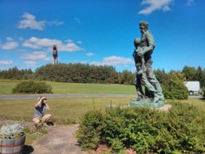
man, the perspective in this photo makes tucker look tiny
Anyway, this was a pretty standard San Gabriels hike. The summit is over 8k’ though, which makes it a little cleaner and clearer than you otherwise might expect.
Apparently, from this hike you can also continue a bit north, doing a bit of bushwhacking along the way, to get the site of a couple different plane crashes though we didn’t do that.